



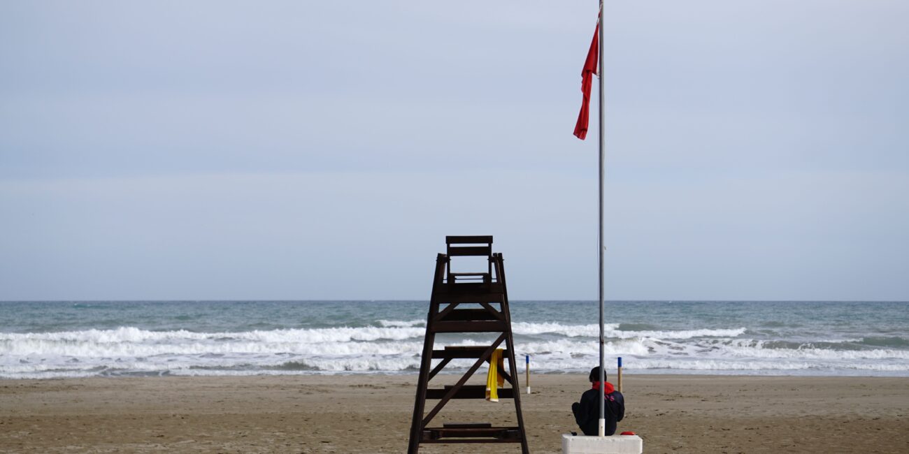
The State Meteorological Agency (Aemet) has declared an orange alert for the northern coast tomorrow, Wednesday 8th September , alongside a yellow alert for the rest of the area. Between 2:00 pm and midnight, there is a risk of storms accompanied by rain, hail, and strong winds. This weather shift coincides with the start of the new academic year for schools and institutes, while inland temperatures are still expected to climb above 35 degrees Celsius.

According to the Climatology Laboratory at the University of Alicante, an upper-level cold air mass will cross the Iberian Peninsula between Wednesday and Thursday, reactivating rainfall along the Mediterranean coast. Combined with maritime winds and sea temperatures reaching 30 degrees Celsius, this setup will trigger showers and thunderstorms across the region, with locally heavy downpours possible. However, conditions are not expected to reach the torrential levels seen in July and August.
Temperatures will drop as a result, particularly inland. Although values will rise again following this brief shift, they are not initially expected to reach the extreme highs of recent days.
Overnight conditions have already proved sweltering. Avamet network data shows L’Alfàs del Pi recorded the highest minimum temperature on Monday at 29.1 degrees Celsius. Earlier in the night, at 2:00 am, temperatures hit 33 degrees in Dénia, 29 in Busot, 28 in Penàguila, 27 in Alicante, Torrevieja, and Alcoy, and 25 in Elche and Biar.
Following L’Alfàs del Pi, high overnight minimums were recorded in Poble Nou de Benitatxell at 28.4, Busot at 28.3, Tàrbena at 27.9, Castell de Guadalest and Aigües at 27.6, Calpe at 27.4, Parcent at 27.2, Benidorm at 27.1, and Callosa d’en Sarrià at 27. These figures represent torrid or equatorial night conditions, where temperatures fail to drop below 25 degrees Celsius and approach 30 degrees.